


Ways to ensure the accurate landing of drones and avoid safety accidents by using visual assistance positioning technology?
Ways to ensure the accurate landing of drones and avoid safety accidents by using visual assistance positioning technology
With the rapid development of drone technology, its application range is also expanding, from agriculture, forestry, environmental monitoring to logistics, aerial photography, surveying and mapping, drones are playing an increasingly important role in various fields. However, the use of drones also brings a series of safety issues, such as flight deviation, loss of control, collisions, and other problems during the flight process, which not only affects the operation efficiency of drones but also poses potential threats to public safety and personal safety. Therefore, how to improve the positioning accuracy of drones through technical means and ensure their accurate landing in various environments has become an urgent problem to be solved.
Visual assistance positioning technology is a technology that uses visual sensors (such as cameras, LiDAR, etc.) to obtain information about the surrounding environment of the drone, and combines computer vision algorithms for real-time positioning and navigation. Compared with traditional inertial navigation systems and GPS positioning systems, visual assistance positioning technology has higher accuracy and stronger environmental adaptability, especially in complex lighting conditions, low-altitude flight, and night flight scenarios, which can significantly improve the positioning accuracy and stability of the drone. Visual assistance positioning technology mainly ensures the accurate landing of drones through the following several ways:
1. Environmental Perception and Mapping
The camera on the drone can capture environmental images in real-time and process them through computer vision algorithms to extract key feature points and establish a three-dimensional model of the environment around the drone. During the landing process, the drone can analyze the environmental images in real-time, adjust the flight attitude, and ensure accurate landing at the designated location. At the same time, by comparing the environmental model and the current position of the drone, abnormal situations such as the drone deviating from the planned path or obstacles in the landing area can be detected in advance, allowing for the timely implementation of measures to prevent safety accidents.
2. Target Detection and Tracking
During the landing process, drones may be affected by environmental factors such as other drones, wind, and air currents, leading to unstable flight attitude. Visual assistance positioning technology can detect environmental changes around the drone in real-time, such as obstacles and other drones, and adjust the attitude of the drone in real-time by tracking these targets to ensure stability during the landing process, thereby improving the accuracy of the landing. At the same time, visual assistance positioning technology can also identify the terrain characteristics of the landing area, such as buildings and trees, to provide more accurate landing position information for the drone, further improving the accuracy of the landing.
3. Obstacle Avoidance and Path Planning
Visual assistance positioning technology can detect environmental changes around the drone in real-time, identify obstacles such as trees and buildings by comparing the environmental model and the current position of the drone, and take preventive measures in advance to avoid collisions between the drone and obstacles. At the same time, visual assistance positioning technology can combine the environmental model and the current position of the drone to plan the optimal path for the drone, ensuring that it avoids obstacles during the landing process and improves the accuracy of the landing. In addition, visual assistance positioning technology can also provide more accurate landing position information for the drone based on the terrain characteristics of the landing area, further improving the accuracy of the landing.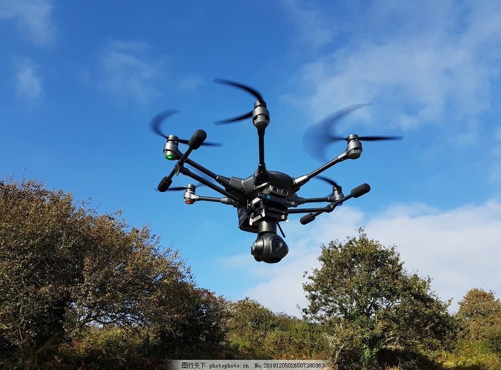
4. Real-time Monitoring and Early Warning
During the landing process, drones may encounter flight deviation, loss of control, and other issues, which may prevent them from landing accurately at the designated location. Visual assistance positioning technology can monitor the flight status of the drone in real-time, such as flight speed, altitude, and attitude. Once an abnormal situation is detected, it can issue an early warning in time, reminding the operator to take measures to prevent the occurrence of safety accidents. At the same time, visual assistance positioning technology can also provide more accurate landing position information for the drone based on the terrain characteristics of the landing area, further improving the accuracy of the landing.
In summary, visual assistance positioning technology can effectively ensure the accuracy of unmanned aerial vehicle (UAV) landing and prevent the occurrence of safety accidents. With the continuous development of technology, the application scope of visual assistance positioning technology will become more and more extensive, providing a safer and more reliable guarantee for the widespread application of UAVs.
 What is the importance of encryption technology for ensuring the security of flight data in unmanned aerial vehicle communication systems?
How do unmanned aerial vehicle swarms integrate data in environmental monitoring to improve effectiveness?
What is the role of unmanned aerial vehicle remote sensing in assisting the detection of underground relics in archaeological research?
How does the power switching mechanism of a hybrid-powered unmanned aerial vehicle ensure continuous flight?