


How can the application of multiple navigation system fusion in drones improve navigation accuracy?
How can the application of multiple navigation system fusion in drones improve navigation accuracy?
The navigation system of drones is a key technology for drones to achieve autonomous flight, and its performance directly affects the flight accuracy and stability of drones. With the development of technology, the technology of multiple navigation system fusion has gradually become an effective means to improve the navigation accuracy of drones. This article will deeply explore the application of multiple navigation system fusion in drones, as well as how to improve the navigation accuracy of drones through this technology.
The Concept of Multiple Navigation System Fusion
The fusion of multiple navigation systems refers to the adoption of various navigation systems in drones, through mutual cooperation, to achieve complementary navigation information, thereby improving the overall navigation accuracy. Currently, the commonly used navigation systems in drones include Inertial Navigation System (INS), Global Positioning System (GPS), Visual Navigation System, Magnetometer, and so on. Each of these navigation systems has its own advantages, but there are also some limitations when used individually. For example, the Inertial Navigation System is susceptible to external environmental influences during low-speed flight, while the GPS signal may be unstable under certain environmental conditions (such as in areas with dense urban skyscrapers). Therefore, through the fusion of multiple navigation systems, these drawbacks can be effectively overcome, and the navigation accuracy of drones can be improved.
II. The application of multi-navigation system integration in drones
Integrating inertial navigation systems with GPS
Inertial navigation systems can provide acceleration and angular velocity information of drones during flight, while GPS provides position information. Integrating inertial navigation systems with GPS can effectively improve the navigation accuracy of drones during low-speed flight and when GPS signals are unstable. For example, in areas with high-rise buildings in cities, GPS signals may be blocked by buildings, at which point inertial navigation systems can provide position information to ensure the navigation accuracy of drones.
Integrating visual navigation systems with GPS
Visual navigation systems can identify ground landmarks to calculate the position and attitude of drones in real-time, thereby improving the navigation accuracy of drones in complex environments. Integrating visual navigation systems with GPS can enable autonomous navigation of drones in complex environments. For example, in urban roads, visual navigation systems can identify road signs, while GPS provides position information for drones to ensure the navigation accuracy of drones.
Integrating inertial navigation systems with visual navigation systems
Inertial navigation systems can provide acceleration and angular velocity information of drones during flight, while visual navigation systems can identify the environment around the drones and provide attitude information. Integrating inertial navigation systems with visual navigation systems can enable autonomous navigation of drones in complex environments. For example, in urban roads, inertial navigation systems can provide position information for drones, while visual navigation systems can identify road signs to ensure the navigation accuracy of drones.
III. Methods to improve the navigation accuracy of drones
Data fusion algorithms
In multi-navigation system integration, data fusion algorithms are crucial. Through data fusion algorithms, it is possible to complement multiple navigation systems and improve the navigation accuracy of drones. For example, Kalman filtering algorithms can be used to fuse the data of inertial navigation systems and GPS, thereby improving the navigation accuracy of drones.
Algorithm optimization
In multi-navigation system integration, algorithm optimization is also a key factor in improving the navigation accuracy of drones. For example, particle filtering algorithms can be used to fuse the data of visual navigation systems and GPS, thereby improving the navigation accuracy of drones.
Data processing technology
In multi-navigation system integration, data processing technology is also a key factor in improving the navigation accuracy of drones. For example, machine learning algorithms can be used to process the data of inertial navigation systems and GPS, thereby improving the navigation accuracy of drones.
Summarizing, the application of multi-navigation system integration in drones can effectively improve the navigation accuracy of drones. Through data fusion algorithms, algorithm optimization, and data processing technology, it is possible to complement multiple navigation systems and improve the navigation accuracy of drones. In the future, with the development of technology, the technology of multi-navigation system integration will become more mature, providing stronger support for the autonomous navigation of drones.
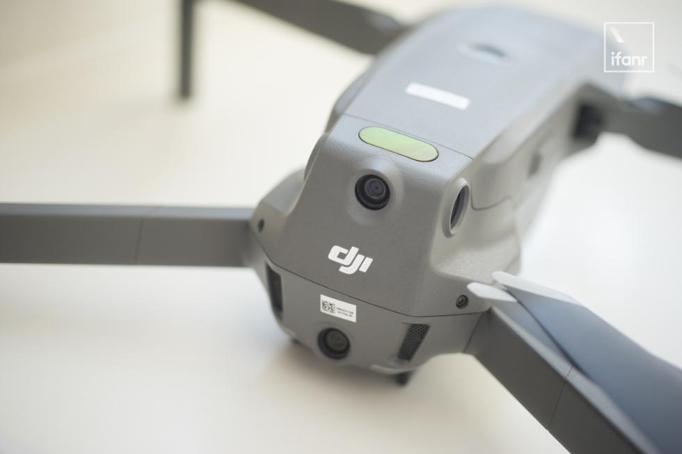 What factors limit the communication distance of UAVs, and how can it be effectively extended?
 How to improve efficiency through innovative applications of drones in logistics and warehousing?
 What is the key role of the development of drone battery technology in enhancing endurance capability?
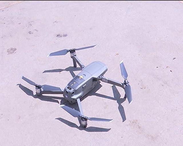 The development of gesture control interaction functions for drones, the principle of recognizing gestures and executing them?