


Feasibility and technical points of using unmanned aerial vehicle remote sensing to monitor atmospheric pollutant concentrations?
Unmanned aerial vehicle remote sensing technology has significant feasibility and potential in monitoring atmospheric pollutant concentrations. Its application not only improves monitoring efficiency but also provides more accurate data support for environmental management. This article will discuss the feasibility of using unmanned aerial vehicle remote sensing technology to monitor atmospheric pollutant concentrations and introduce the relevant technical points.
Feasibility of using unmanned aerial vehicle remote sensing to monitor atmospheric pollutant concentrations
Unmanned aerial vehicle remote sensing technology, equipped with high-precision sensors, can obtain high-resolution images or data in the atmosphere, which can be used to analyze the concentration distribution of atmospheric pollutants. Drones have the characteristics of flexibility and mobility, and can carry out observations at different altitudes and positions without being restricted by terrain, making them particularly suitable for monitoring atmospheric pollution sources and their diffusion. In addition, drones can cover large areas in a short period of time, which is particularly beneficial for rapid assessment and response to sudden pollution events.
Technical points
Sensor selection: Choosing the appropriate sensor is the key to effective atmospheric pollutant monitoring. Currently, there are a variety of sensors available on the market, including sensors in the visible, near-infrared, mid-infrared, and ultraviolet bands. According to specific monitoring needs, selecting the appropriate sensor combination can more comprehensively obtain information about atmospheric pollutants.
Data processing and analysis: The data collected by unmanned aerial vehicles usually requires advanced data processing and analysis technology to extract valuable information. This includes image processing, spectral analysis, data fusion, and other steps. Data processing technology can help remove noise, improve data accuracy, and thus more accurately assess the concentration of atmospheric pollutants.
Flight planning and path design: Reasonable planning of the unmanned aerial vehicle's flight path is crucial for improving monitoring efficiency. By means of three-dimensional terrain analysis, wind speed and direction prediction, and other methods, flight paths can be optimized to ensure that all target areas are covered while minimizing flight time and cost.
Data security and privacy protection: When conducting unmanned aerial vehicle remote sensing monitoring, it is necessary to consider the issues of data security and privacy protection. Encryption technology should be adopted to ensure the security of data transmission, and relevant laws and regulations should be followed to ensure that the collected data is not misused.
Cost and benefit analysis: The application cost of unmanned aerial vehicle remote sensing technology is relatively high, including the purchase of drones, sensor acquisition, data processing software, and labor costs. However, through effective planning and optimization, a high return on investment can be achieved. For example, rapid response to sudden pollution events, reducing the cost of traditional ground monitoring, and so on.
Unmanned aerial vehicle remote sensing technology has shown great potential in monitoring atmospheric pollutant concentrations. By reasonably selecting sensors, optimizing data processing methods, planning flight paths, strengthening data security protection, and conducting cost-benefit analysis, this technology can be better utilized to provide strong support for environmental protection and management.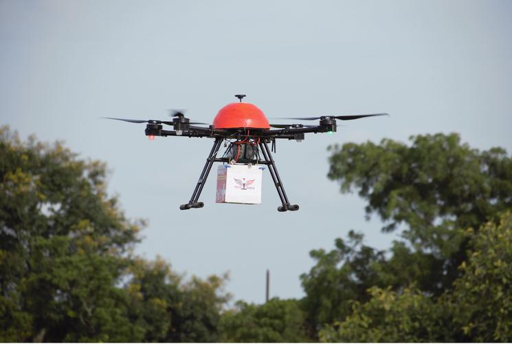 @@@@@@@@@@@@@@@@@@@@@@
 What is the importance of encryption technology for ensuring the security of flight data in unmanned aerial vehicle communication systems?
How do unmanned aerial vehicle swarms integrate data in environmental monitoring to improve effectiveness?
What is the role of unmanned aerial vehicle remote sensing in assisting the detection of underground relics in archaeological research?
How does the power switching mechanism of a hybrid-powered unmanned aerial vehicle ensure continuous flight?